
The City of Woodstock will be investing in new aerial mapping next year. The current maps the city uses for planning are over 30-years-old. And with all the development over the last 5-years, City Engineer Harold DeHaan believes its high time the city invests in some new mapping. "We had council approve half the anticipated funds this year with the intent of getting the other half approved next year so that next year we can have the whole city flown aerially so we can get an aerial photography of the whole city". The total cost will be around $70,000. The Engineering Department uses the aerial maps frequently to study flooding complaints, and for planning reports. DeHaan says new technology in aerial mapping would allow the city to have maps that are accurate within 8cms.
 Two Have Licence Suspensions in Oxford
 False 9-1-1 Calls Hit Norfolk County
 Woodstock Choralaires Hosting 70s Themed Show
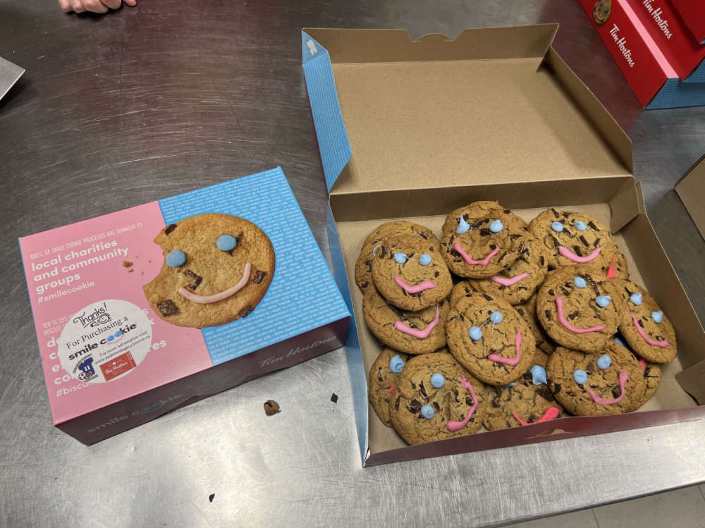 Thamesford Tim Hortons Accepting Smile Cookie Preorders
 Three Vehicle Crash Investigation in Brant
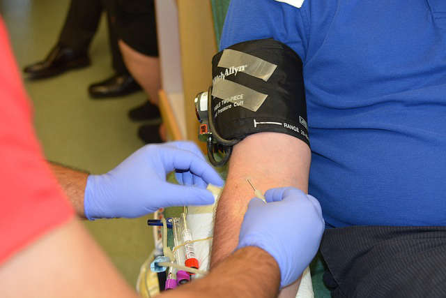 News Poll: Blood Donation
 WCI Red Players Present: Concert for the Cure 2024
 Oxford Resident Charged with Shoplifting
 Earth Day is Celebrated in Woodstock
 One Man Charged after Fraudulent Activity
 Norfolk OPP Catch Impaired Driver
 Woodstock Navy Club Welcomes Universal Washroom
 Oxford County Waste Survey Closing Soon
 Woodstock Receives Award for Lifesaving Program
 OPP Investigating Door-to-Door Sales
 Stolen Car Spotted in Waterloo Region
 Woodstock Receives Fourth-Quarter Payment from OLG
 Oxford Attack U-19 Boys Vying for Spot in OBXL
 Voting Open for Oxford Reads 2024
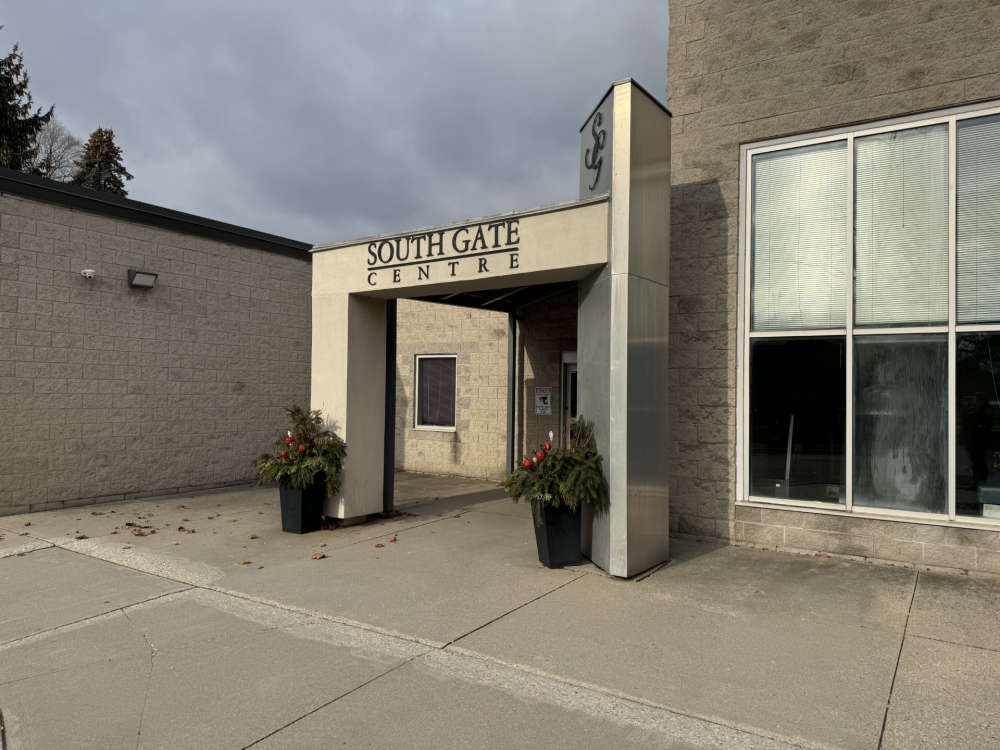 South Gate Expansion Expected to Begin this Summer