


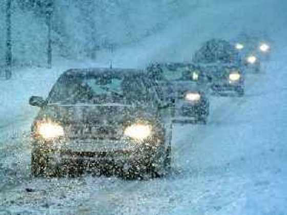
Forecasts right now suggest Oxford County will not get hit as hard some other areas of the province with a weekend winter storm brewing.
OXFORD COUNTY - Environment Canada has issued a special weather statement for most of Southern Ontario including Oxford County.
They are warning of heavy snow starting on Friday night and frigid temperatures on Sunday. The latest analysis suggests that snowfall amounts will range from 10 to 15 cm near Lake Erie to 2 to 5 cm north of highway 7.
This means Oxford County will not get hit as hard as places closer to Lake Erie. Rapidly accumulating snow could make travel difficult over some locations. Also, surfaces such as highways, roads, walkways and parking lots may become icy and slippery.
Bitterly cold temperatures and moderate winds of 40 gusting to 60 km/h will accompany the snow resulting in wind chill values in the minus 20 to minus 30 range that will continue into Monday morning. Blowing snow will also be an issue Saturday resulting in reduced visibility at times.
There is still much uncertainty with the track of this winter storm. A more northerly track would increase snowfall amounts while a more southerly track would decrease amounts. Regardless of the track, very cold wind chill values can be expected into Monday morning.
 Earth Day is Celebrated in Woodstock
 One Man Charged after Fraudulent Activity
 Norfolk OPP Catch Impaired Driver
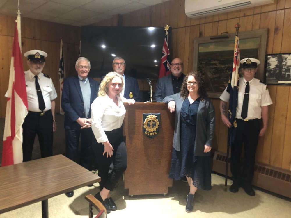 Woodstock Navy Club Welcomes Universal Washroom
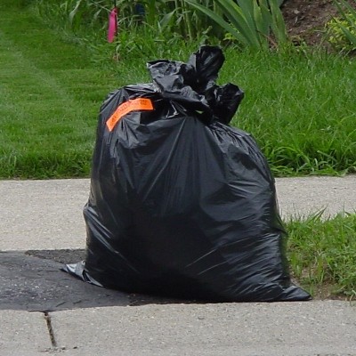 Oxford County Waste Survey Closing Soon
 Woodstock Receives Award for Lifesaving Program
 OPP Investigating Door-to-Door Sales
 Stolen Car Spotted in Waterloo Region
 Woodstock Receives Fourth-Quarter Payment from OLG
 Oxford Attack U-19 Boys Vying for Spot in OBXL
 Voting Open for Oxford Reads 2024
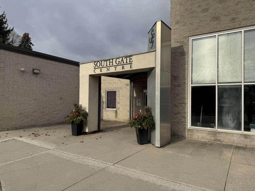 South Gate Expansion Expected to Begin this Summer
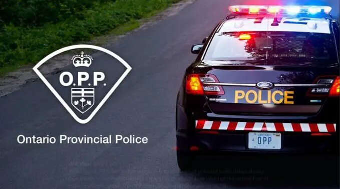
 Battle of the Badges this Sunday
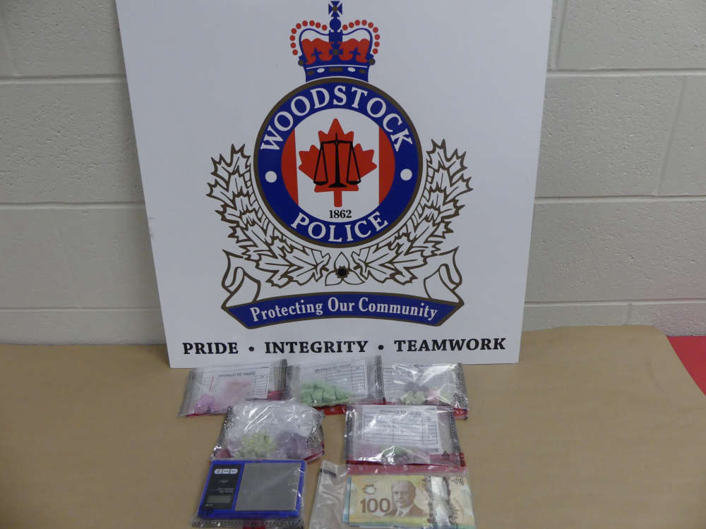 Two Charged in Woodstock Drug Bust
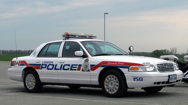 UPDATE: LPS Constable Faces Three Charges
 Premier Fumes Over Gas Price Increase
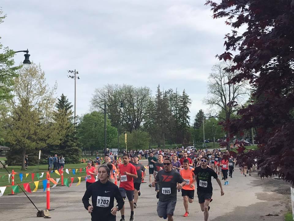 Dairy Capital Run Returns to Discovery Farm Woodstock
 Golf Carts Stolen and Damaged in Ingersoll
 Rural Engagement Survey Closing Soon
 Tickets Available for Woodstock Mayor's Breakfast


Comments
Add a comment