

Southern Ontario could see significant snowfall or messy wintery mix
It could be a very messy mix of weather for our region late this week and weekend.
According to Environment Canada, several disturbances are originating in Texas that are expected to track towards the Lower Great Lakes on Friday.
The weather agency says at this time it is tough to target the exact location of the front which will determine whether the precipitation falls as rain, freezing rain, ice pellets or snow.
In a special weather statement, they say the more potent disturbance approaches Southern Ontario on Sunday. This system is expected to grab moisture from the gulf and could bring significant snowfall accumulations to Southern Ontario Saturday night through Sunday. A significant area of freezing rain or ice pellets could fall across the Lower Great Lakes.
Environment Canada says there is still considerable uncertainty surrounding the disturbances that are tracking our way. A slight change in the storms tracks could affect the precipitation types and amounts. However there is a very good chance travel could be impacted over the weekend. Motorists are advised to monitor the situation and Environment Canada will issue any watches or warnings if necessary.
 New Coaches Coming to Tavistock Braves
 Norfolk OPP Investigation Leads to Charge
 U14 Girls Oxford Attack Continue Season
 Province Increasing Speed Limit on 10 Sections of Highways
 EZT Strategic Plan Survey Closing Soon
 Realtors Care Food Drives Returns!
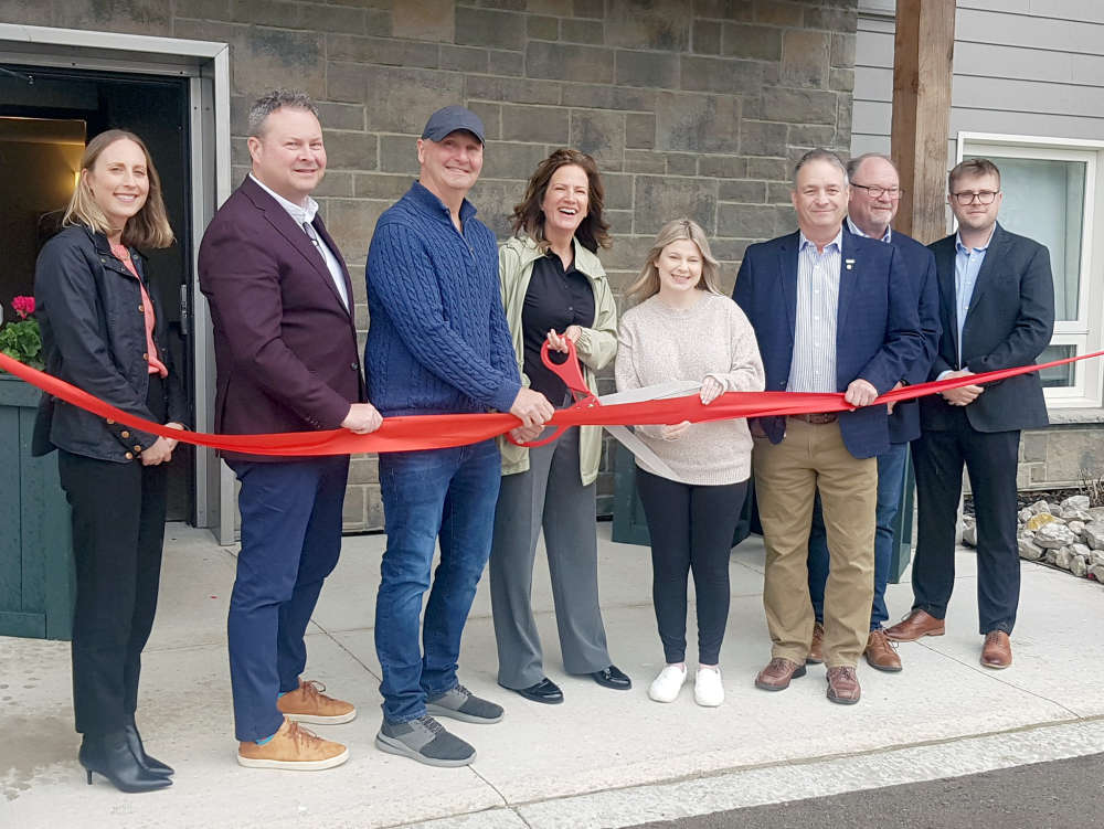 Plattsville Celebrates New Housing Complex
 Two Have Licence Suspensions in Oxford
 False 9-1-1 Calls Hit Norfolk County
 Woodstock Choralaires Hosting 70s Themed Show
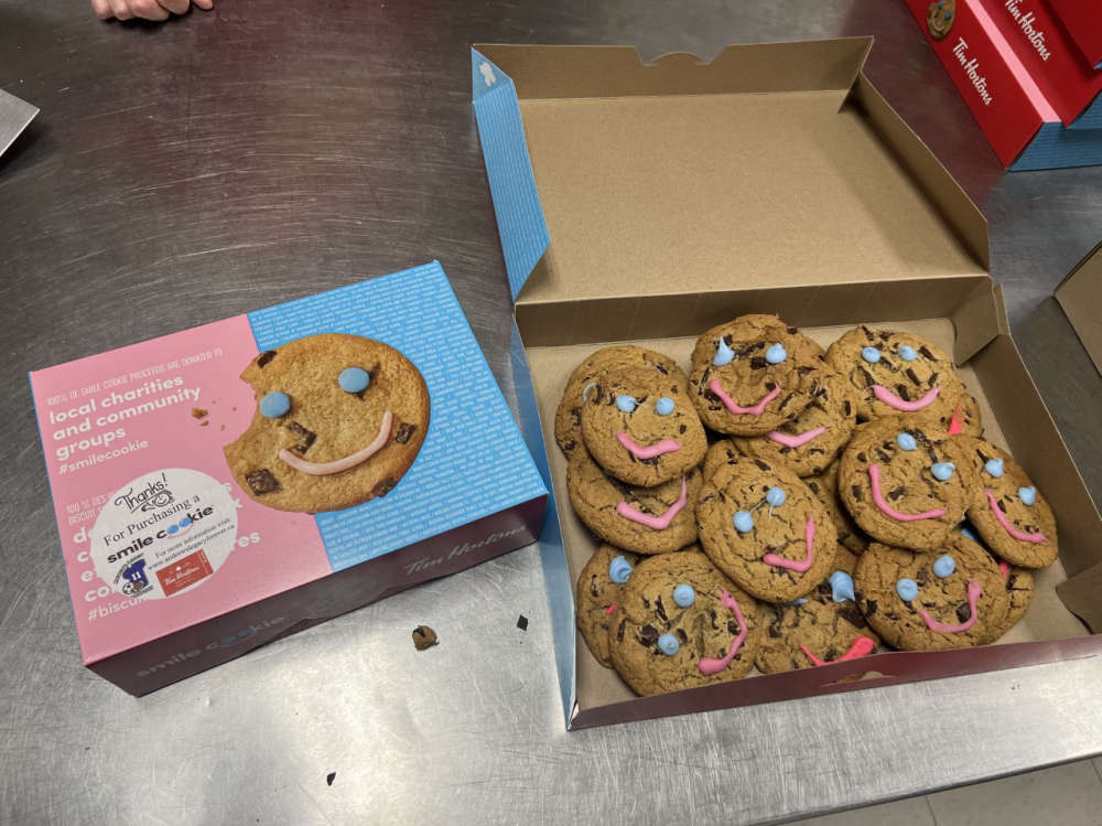 Thamesford Tim Hortons Accepting Smile Cookie Preorders
 Three Vehicle Crash Investigation in Brant
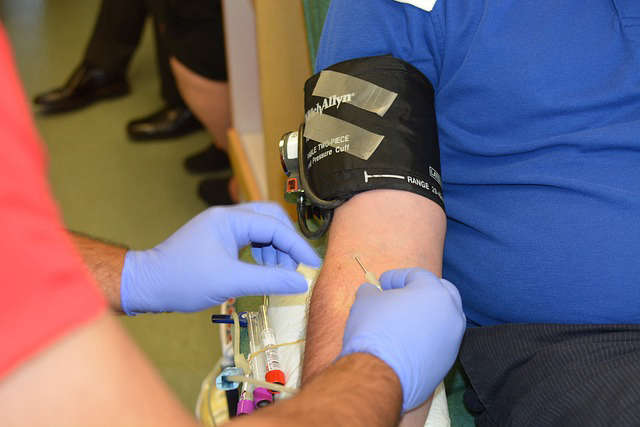 News Poll: Blood Donation
 WCI Red Players Present: Concert for the Cure 2024
 Oxford Resident Charged with Shoplifting
 Earth Day is Celebrated in Woodstock
 One Man Charged after Fraudulent Activity
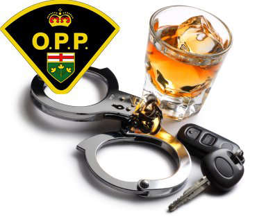 Norfolk OPP Catch Impaired Driver
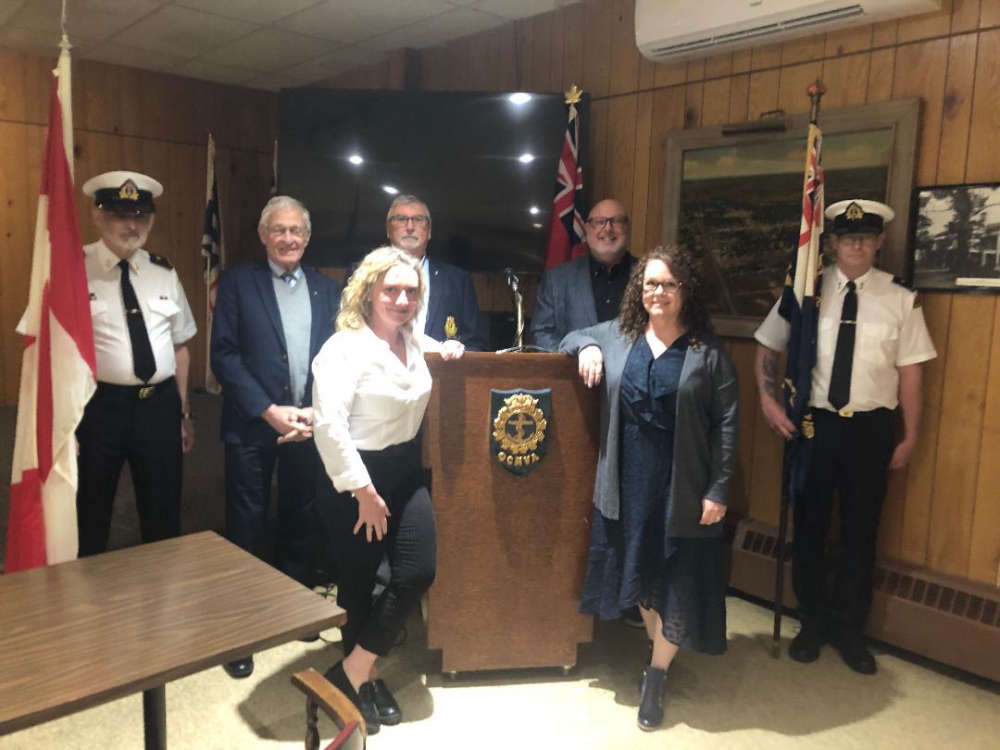 Woodstock Navy Club Welcomes Universal Washroom
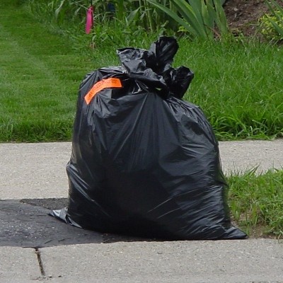 Oxford County Waste Survey Closing Soon