


Another blast of winter is heading towards the lower Great Lakes for Wednesday
As it's been said before, many times this year...here we snow again!
Environment Canada has issued a Special Weather Statement for Wednesday that includes a large portion of southern Ontario, including Oxford County.
An area of low pressure moving toward the Lower Great Lakes from Kansas could bring 5 to 15 cm of snow tomorrow. A Winter Storm Watch has been issued for areas along the shores of Lake Erie from Essex County through to Haldimand County where they could see roughly 15 cm of snow while areas in the Niagara Region are preparing for the possibility of 15 to 25 cm. There is the risk for freezing rain through the overnight in these area as well.
Winter storm warnings have also been issued east of Toronto from Kingston to Cornwall.
The weather agency is tracking the system closely to determine the exact accumulation totals from this storm however for Oxford County, we could see periods of heavy snow with totals of 10 to 15 cm through the overnight into Wednesday. With winds gusting to 60 km/h tomorrow, blowing snow and poor visibility are also a concern.
Motorists are advised to prepare for hazardous driving conditions and are reminded to drive with caution and allow extra travel time.
 SWPH Says No to Merger
 Backlash Faced After Bylaw Talks
 Oxford County to Advocate for Better Rail Service
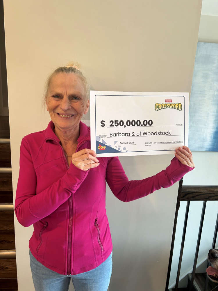 Woodstonian Wins Big Off Scratch Ticket
 UPDATE: Westbound Lanes Reopen Following Fatal Crash
 Tillsonburg to Host Game 7 of WOHSL Cup Tonight
 Advanced Polls Open for Norwich Byelection Tomorrow
 Sexual Assault Investigation on Mile Hill Trail
 Blood for Byers Event is in Woodstock
 Thamesford Man Caught for Impaired Driving
 STAGES Program Brings Shows to Theatre Woodstock
 Bob Cole Dies at the Age of 90
 County Discusses Safety Concerns During Pride Events
 BBBS of Oxford Calling for Mentors
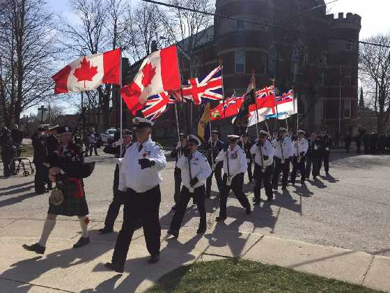 OCNVA Preparing for Battle of the Atlantic Commemoration
 Woodstock Sports Fields Not Open Yet
 Sister Cities Logo Finalists
 New Coaches Coming to Tavistock Braves
 Norfolk OPP Investigation Leads to Charge
 U14 Girls Oxford Attack Continue Season


Comments
Add a comment