


Another blast of winter is heading towards the lower Great Lakes for Wednesday
As it's been said before, many times this year...here we snow again!
Environment Canada has issued a Special Weather Statement for Wednesday that includes a large portion of southern Ontario, including Oxford County.
An area of low pressure moving toward the Lower Great Lakes from Kansas could bring 5 to 15 cm of snow tomorrow. A Winter Storm Watch has been issued for areas along the shores of Lake Erie from Essex County through to Haldimand County where they could see roughly 15 cm of snow while areas in the Niagara Region are preparing for the possibility of 15 to 25 cm. There is the risk for freezing rain through the overnight in these area as well.
Winter storm warnings have also been issued east of Toronto from Kingston to Cornwall.
The weather agency is tracking the system closely to determine the exact accumulation totals from this storm however for Oxford County, we could see periods of heavy snow with totals of 10 to 15 cm through the overnight into Wednesday. With winds gusting to 60 km/h tomorrow, blowing snow and poor visibility are also a concern.
Motorists are advised to prepare for hazardous driving conditions and are reminded to drive with caution and allow extra travel time.
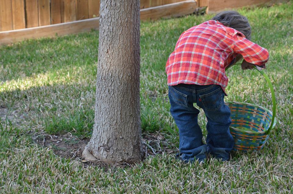
 Tavistock Hosts Special Easter Egg Hunt!
 PetSmart Adoption Week Success in Oxford
 Ontario Increases Minimum Wage
 PJHL Playoff Recap - March 31st
 Easter Fun in Drumbo!
 All Systems Go for Artemis II Mission
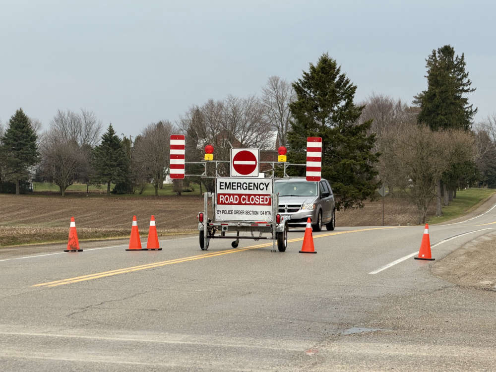 Three Killed and Two Hospitalized in Norwich Crash
 Funding Helps Get New Roof in Ingersoll
 Ingersoll has Two Easter Egg Hunts
 Tip Tuesday - March 2026
 Federal Offender Wanted nearby Hamilton & GTA
 Toronto Maple Leafs Fire General Manager
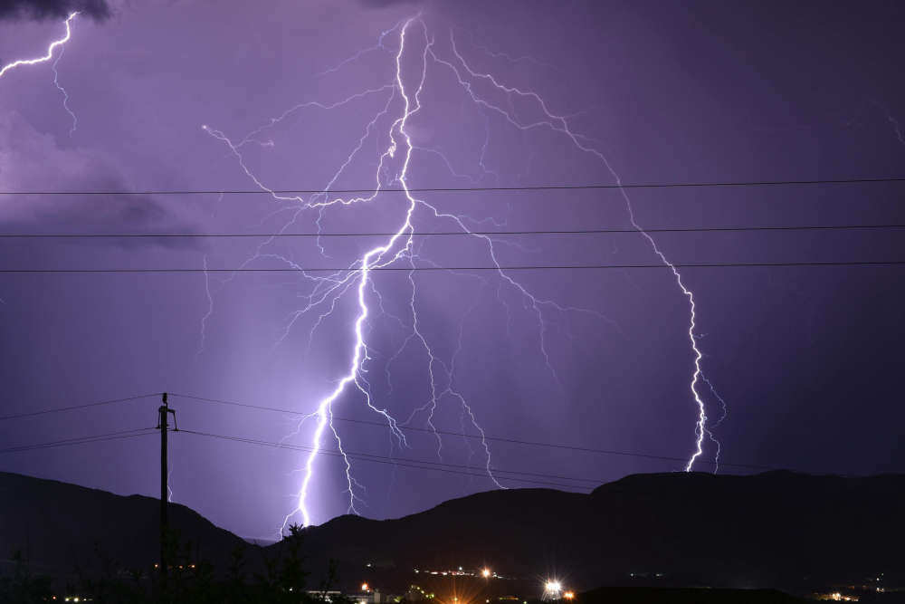 UPDATE: Severe Thunderstorm Watch Cancelled
 Easter Egg Hunt Returns to Harold Bishop Park
 Oxford County Receives Investment for Emergency Preparedness
 New Canada-Ontario Partnership Focuses on Affordability
 Interview with the Mayor - March 30th, 2026
 Woodstock Has Two Easter Events This Week!
 PJHL Playoff Recap - March 27th to March 29th


Comments
Add a comment