


Rainfall amounts of 30 to 50 mm are possible, with the heaviest rain occurring Thursday afternoon. Strong northwesterly to westerly wind gusts of 70 km/h are possible Thursday night into Friday morning.
OXFORD / BRANT - Environment Canada has issued a special weather statement with potentially significant rainfall today through Friday morning.
A low pressure system will approach Southern Ontario from the southwest.
Rain is forecast to begin this morning and end Friday morning.
Rainfall amounts of 30 to 50 mm are possible, with the heaviest rain occurring Thursday afternoon. Strong northwesterly to westerly wind gusts of 70 km/h are possible Thursday night into Friday morning.
If visibility is reduced during driving, turn on headlights and maintain a safe following distance.
Remember pedestrians are more difficult to see when it is dark, and with all the trick or treaters out for Halloween, drivers should be extra cautious.
 Woodstock Bowler Heading to Special Olympics
 Dog Bite Investigation in Tillsonburg
 Interview with the Warden - January 29th, 2026
 Trevor Birtch Trial Daily Recap - Case 2
 11 People Charged in Massive Drug Bust
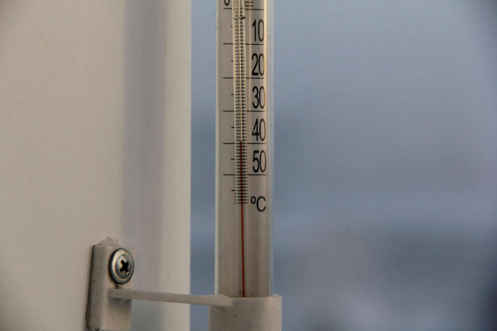 Another Cold Warning for Oxford County
 Chilly Charlie Returns on Monday
 Khanna Shines a Light on Oxford County Superstars
 WFD Responds to Structure Fire
 WPS Appoints New Deputy Chief
 TMMC Woodstock Begins Production of Sixth Gen RAV4
 Oxford OPP Briefs - January 28th, 2026
 Thrive Oxford Honoured at ROMA
 Tip Tuesday with the Oxford OPP - January 2026
 Members Needed for Tillsonburg Housing Advisory Committee
 UPDATE: Ottawa Approves Plan to Move Marineland's Whales and Dolphins
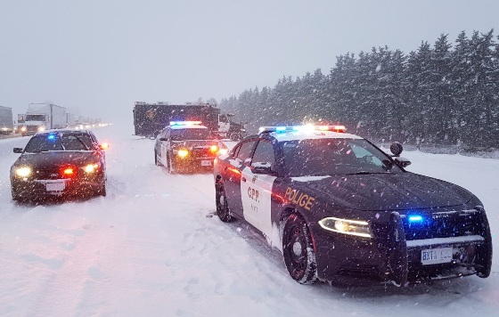 Over 200 Collisions Reported in West Region
 Another Day of Bus Cancellations in Oxford
 UPDATE: Environment Canada Issues Cold Warning


Comments
Add a comment