


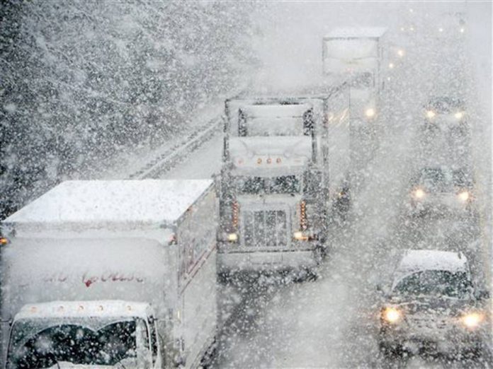
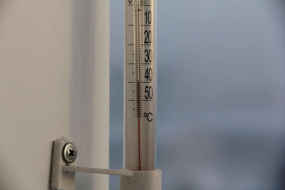
Environment Canada says we could get 10 to 30 centimetres of snow.
OXFORD - We're about to get a blast of winter in Oxford County.
Environment Canada has issued a snow squall watch with the possibility of 10 to 30 centimetres over the next couple days. It should start today and officials say it could continue into tomorrow night, but we should get the worst of it tonight.
We could also see wind gusts between 60 and 70 kilometres per hour which could blow the snow around and make it hard to see at times. Make sure you drive carefully and prepare for changing road conditions if you have to go anywhere.
Under Environment Canada's new colour-coded weather alert system, this snow squall watch is classified as a yellow alert. This means the weather could cause damage, disruption or health impacts, but the impacts should be moderate, localized and/or short-term. You can read more about the new colour-coded alert system online here.
 UPDATE: Chilly Charlie Predicts Extended Winter
 PJHL Recap - Jan 30th to Feb 1st
 Oxford Celebrates Black History
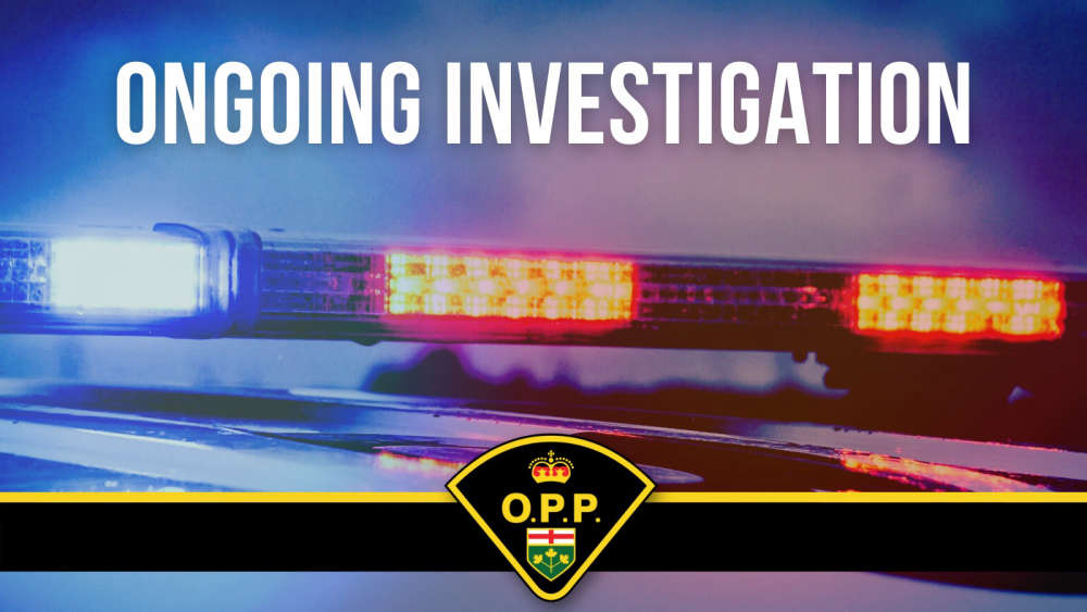
 OPP Investigating Shakespeare Break and Enter
 Teen Killed in Zorra Township Crash
 A Cold Start to the Week in Oxford
 Multiple Charges Laid after Thefts in Tillsonburg
 CASS Offering Unique Program to Students
 PJHL Preview - Jan. 30th to Feb. 1st
 Woodstock Bowler Heading to Special Olympics
 Dog Bite Investigation in Tillsonburg
 Interview with the Warden - January 29th, 2026
 Trevor Birtch Trial Daily Recap - Case 2
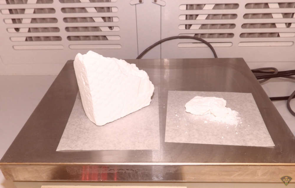 11 People Charged in Massive Drug Bust
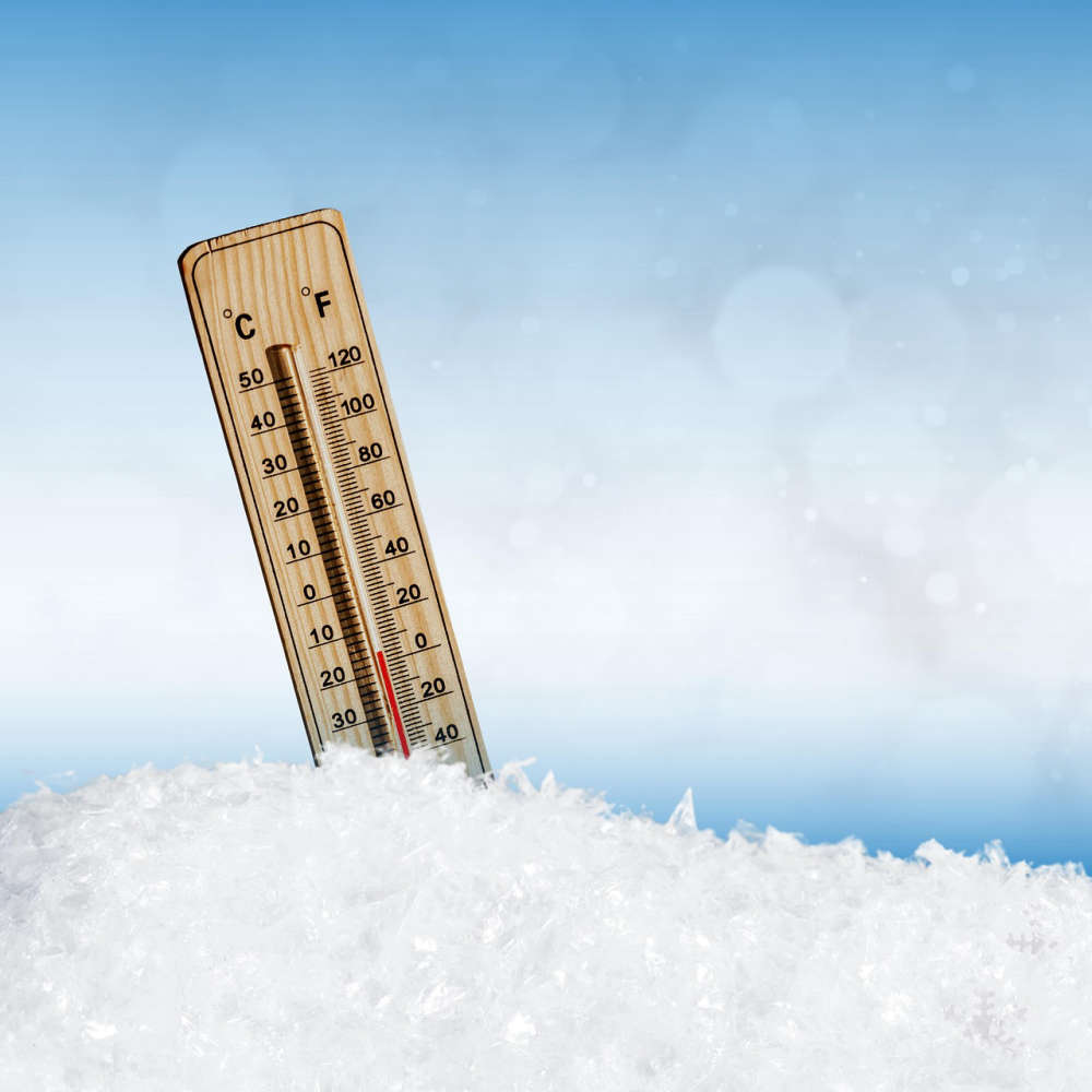
 Another Cold Warning for Oxford County
 Chilly Charlie Returns on Monday
 Khanna Shines a Light on Oxford County Superstars
 WFD Responds to Structure Fire
 WPS Appoints New Deputy Chief
 TMMC Woodstock Begins Production of Sixth Gen RAV4


Comments
Add a comment