


Environment Canada says we could see significant rainfall mixed with snow through overnight.
A Texas low is making its way to Southern Ontario bringing with it plenty of rain and the possibility of wet-snow.
Environment Canada has issued a Special Weather Statement highlighting the possibility of significant rainfall with 15 to 25 mm likely to fall over much of Southern and Eastern Ontario. Areas near lakes Erie and Ontario could see higher amounts of 25 to 35 mm.
The rain should move into our region early to mid-afternoon Monday.
There's the chance for wet-snow through the overnight as the mercury drops to near zero temperatures. Areas to the north and through higher terrains, such as Dundalk or Haliburton Highlands could see accumulating snow of 5 to 10 cm. Local higher amounts are possible, especially over the Bancroft through Algonquin Park area, as well as the higher ground southwest of Collingwood including Flesherton, Singhampton and Shelburne.
More spring-like weather is on the way this week. By Thursday, temperatures are expected to climb to the mid to high teens, erasing any memory of tonight's possible snowfall.
 Oxford OPP Lay Charges after Collision
 Two Arrested in Drug Investigation
 Province Backs Straw Boss Expansion in Mount Elgin
 United Way Oxford Shares Period Promise Results
 Tillsonburg Driver Charged by OPP
 WITAAR Reports Home Sale Decline in February
 Significant Rainfall Sparks Special Weather Statement
 Team King Represents Well at Brier
 WFD: No Ice is Safe Ice!
 PJHL Playoff Recap - March 6th to March 8th
 20 in 20 for 20 for BBBS Oxford
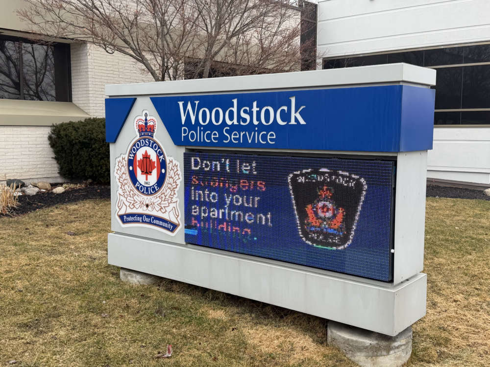 WPS Presents Budget to City Council
 R.I.D.E. Check in Tillsonburg Leads to Charges
 City Lowers Flags for Local Dispatcher
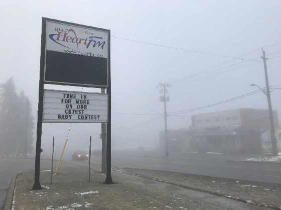 Yellow Fog Advisory Issued for Oxford
 Daylight Saving Time Begins Sunday
 United Way Oxford Launches Local Love Week
 Navy Vets Making the Jump
 Oxford OPP Briefs - Mar. 5, 2026
 United Way Oxford Hosting Celebration


Comments
Add a comment