


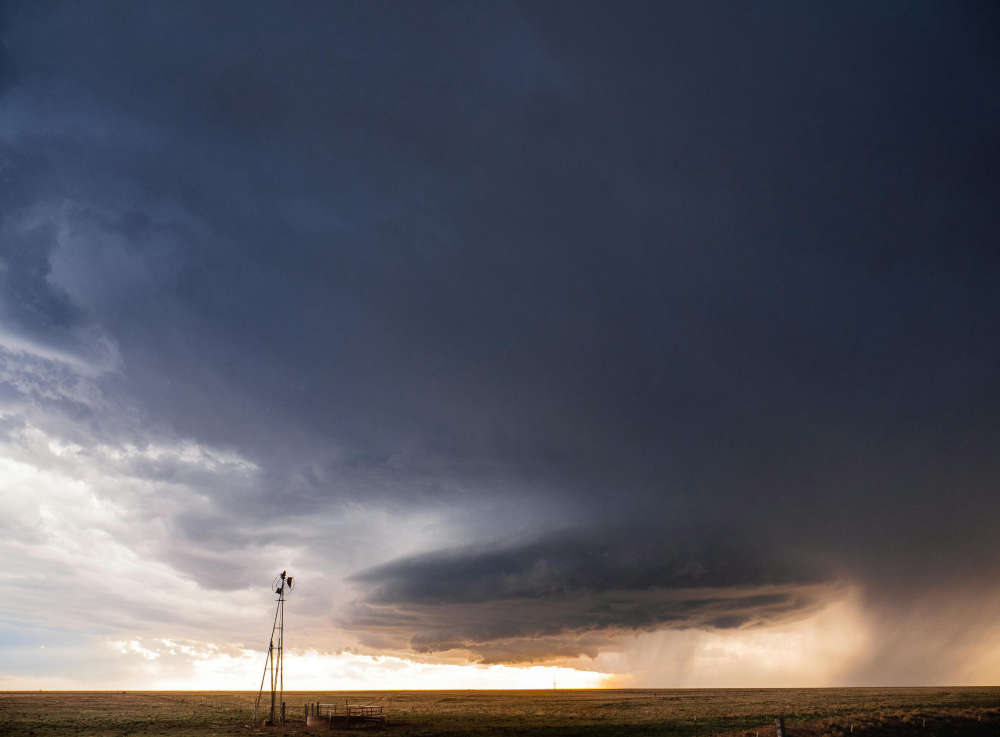
We had wind gusts between 90 to 100 kilometres per hour, along with about 10 to 35 milimetres of rain.
OXFORD - We had quite the storm roll through Oxford County.
A line of severe thunderstorms rolled through the area at aroud 5:30 p.m. yesterday, bringing strong winds and heavy rain.
Rob Kuhn is a severe weather meteorologist with Environment Canada's Ontario Storm Prediction Centre. He says we had wind gusts of about 90 to 100 kilometres per hour, but it doesn't look like a tornado touched down in our area. However, it's possible that one may have touched down east of Oxford.
"On Doppler radar, it had a toronado detection signature west of Waterloo near a hamlet called Bamberg. There was indication that there was debris in the area, and on Doppler radar it's a signature that we look for."
The Northern Tornadoes Project is investigating the matter.
Oxford County received 10 to 35 milimetres of rain yesterday, and Kuhn says we got off easy.
"Down towards Tillsonburg, I think someone there got close to 35 milimetres of rain. We had 102 milimetres of rain at the Ontario Storm Prediction Centre in Downsview Toronto, so it was a soaker!"
There is a possibility of more thunderstorms for today, but Kuhn does not believe they will be as severe because we don't have as much moisture or instability in the area.
Looking ahead to the long weekend, Kuhn says we're in for beautiful conditions with mostly sunny skies and a daytime high of 24 for tomorrow, Saturday and Sunday. It should be a little more cloudy on the holiday Monday with a high of 22.
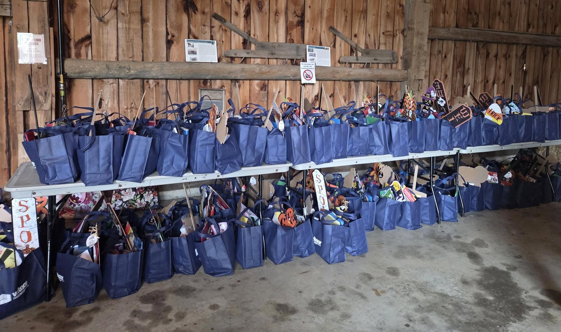 WITAAR Supports Local Classrooms
 Ingersoll Pumpkin Fest Returns this Saturday
 PJHL Preview - Oct 23rd to Oct 25th
 Navy Vets Preview - Oct 23rd to Oct 25th
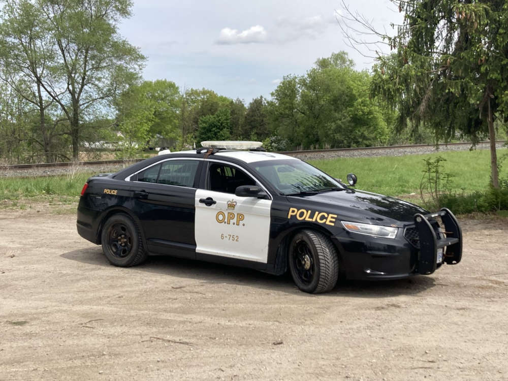 Norfolk OPP Briefs - October 23rd, 2026
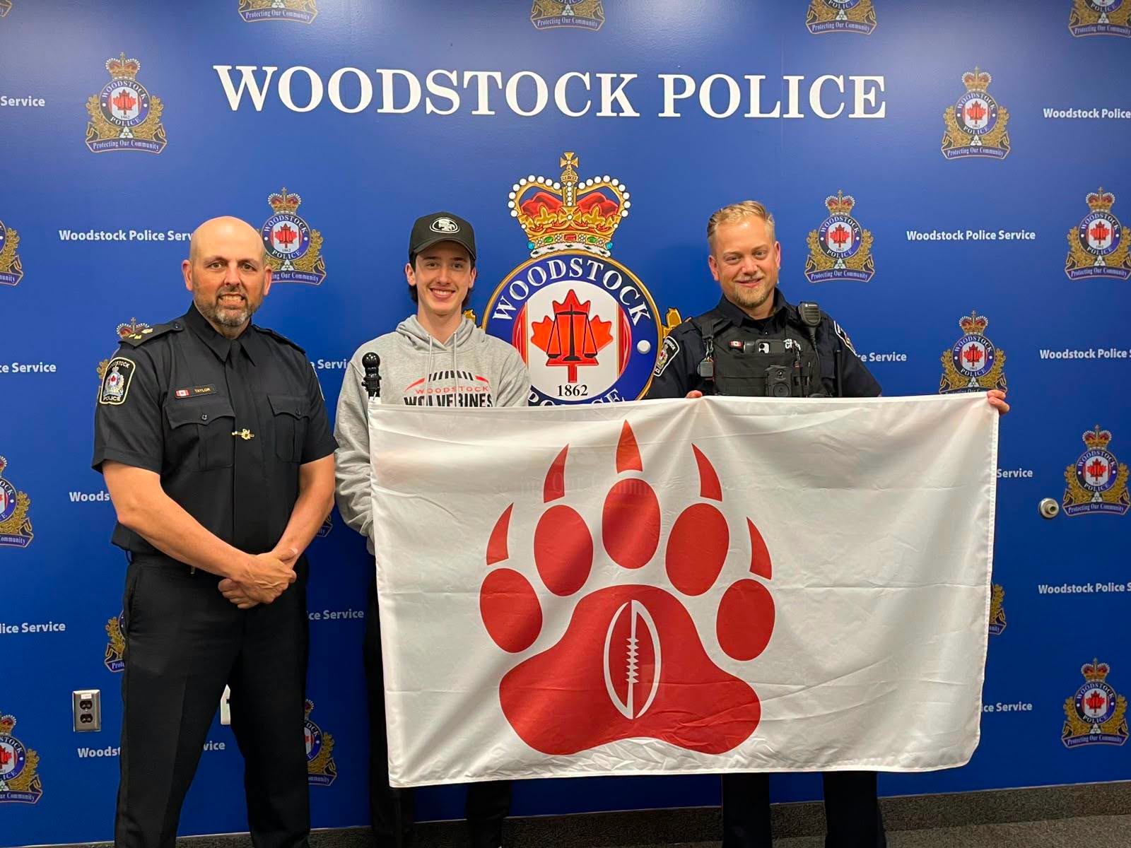 Wolverines to Face WPS in Friday Night Lights Charity Classic
 Blandford-Blenheim Candidate Profile - Nancy Demarest
 OPP Respond to Weapons Call in Tillsonburg
 Navy Vets Celebrating 60 Years
 Woodstock Receives Gaming Revenue Payment from OLG
 Schedule Released for CPKC Holiday Train
 Local History Speaker Series Returns
 Woodstock Police Briefs - Oct. 21st, 2026
 Advance Voting Numbers High in Woodstock
 Winning Lotto Max Ticket Sold in Oxford
 Voting Opens and Tickets Available for Chamber Awards
 Oxford Honours CFB Wainwright Victims
 SWOX Collision Sends 7 to Hospital
 Brantford Man Charged with Impaired
 News Poll: World Series 2026



Comments
Add a comment