


Environment Canada is warning of the potential for heavy rain, lightning, isolated hail and funnel clouds are also possible.
SOUTHWESTERN ONTARIO - Environment Canada has issued a severe thunderstorm watch for most of Southwestern Ontario, including Oxford County.
Conditions are favourable for the development of dangerous thunderstorms that may be capable of producing strong wind gusts, large hail and torrential rain. It is possible to have rainfall amounts between 50-75 mm in some regions. Other potential hazards include the possibility of isolated hail, wind gusts of up to 90 km/h and isolated funnel clouds are possible.
The thunderstorm is expected to land later this afternoon and through to the early evening.
The type of funnel clouds possible are generated by weak rotation under rapidly growing clouds or weak thunderstorms. This weak rotation is normally not a danger near the ground. However, there is a chance that this rotation could intensify and become a weak landspout tornado.
Heavy downpours can cause flash floods and water pooling on roads. Lightning kills and injures Canadians every year. Remember, when thunder roars, go indoors!
 United Way Makes Period Promise to Oxford County
 Woodstock Expands Eligibility for FAIR Program
 Oxford County Provides Affordable Housing Update
 Silver Finish for Team Canada
 UTRCA Issues Statement Regarding Water Levels
 OPP Investigate Reports of Extortion
 PJHL Playoff Preview - Feb 20th to Feb 22nd
 Ticket Sales Begin for Runway of Stars
 Mobile Decontamination Trailer for Oxford
 Shelton Wins Silver Medal at Milan Olympics
 Woodstock Accepting Community Grant Applications
 Provincial Funding is Coming to Blandford-Blenheim Township
 Theatre Woodstock Presents: Jesus Christ Superstar
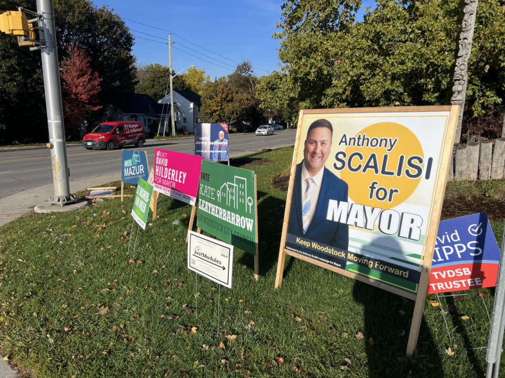 Municipal Candidate Information Session in Oxford
 School Buses Cancelled in Oxford County
 Drug Charges Laid in Tillsonburg
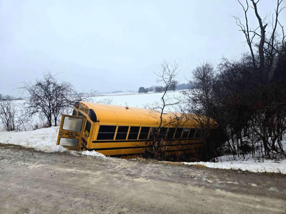 UPDATE: Road Reopens Following School Bus Crash
 UPDATE: Freezing Drizzle Advisory in Effect
 Tillsonburg Considers Film-Friendly Status
 Oxford OPP Briefs - February 18th, 2026


Comments
Add a comment