


Environment Canada is warning of the potential for heavy rain, lightning, isolated hail and funnel clouds are also possible.
SOUTHWESTERN ONTARIO - Environment Canada has issued a severe thunderstorm watch for most of Southwestern Ontario, including Oxford County.
Conditions are favourable for the development of dangerous thunderstorms that may be capable of producing strong wind gusts, large hail and torrential rain. It is possible to have rainfall amounts between 50-75 mm in some regions. Other potential hazards include the possibility of isolated hail, wind gusts of up to 90 km/h and isolated funnel clouds are possible.
The thunderstorm is expected to land later this afternoon and through to the early evening.
The type of funnel clouds possible are generated by weak rotation under rapidly growing clouds or weak thunderstorms. This weak rotation is normally not a danger near the ground. However, there is a chance that this rotation could intensify and become a weak landspout tornado.
Heavy downpours can cause flash floods and water pooling on roads. Lightning kills and injures Canadians every year. Remember, when thunder roars, go indoors!
 ERTH Charity Golf Tournament Raises $45,000
 A Positive May for Local Real Estate
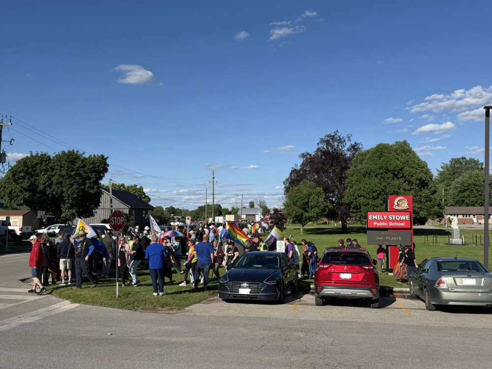 Pride Community Rallies in Norwich
 Oxford OPP Briefs - June 16th, 2026
 Norfolk OPP Briefs - June 15th, 2026
 Tillsonburg Candidate Profile - Ron Gasparetto
 Interview with the Acting Mayor - June 15th, 2026
 Wienerfest Back in Burford Next Weekend
 Two Championships, One Weekend
 Five Children Killed in Mapleton Township Crash
 Woodstock Candidate Profile - Dave Bloxsidge
 Pride Family Day in Museum Square
 Oxford County Seeking Input for Future
 UPDATE: Oxford OPP Find Missing Teen
 Oxford OPP Investigating Stolen PRIDE Flags
 Woodstock Candidate Profile - Maureen Ralph
 2026 World Cup of Soccer is Underway
 Navy Vets Reveal First Round of Commits
 Pickup Truck vs. Transport Truck Collision in SWOX
 Interview with the Warden - June 11th, 2026


Comments
Add a comment