


Heavy rain and thunderstorms this afternoon, mixed with a cold front will end the heat wave for Southwestern Ontario, including Oxford County.
OXFORD COUNTY - The heat wave is expected to end later today with a cold front storm moving into Southwestern Ontario.
Meterologist with Environment Canada Gerald Cheng says we can expect storms today and tomorrow.
"This is a system coming from the West, the tropical system down south Elsa, is not merging with it at this point, so we are really working with the moisture from the system coming from the West."
Cheng says some areas are going to get hit with a lot of rain, and some areas not so much.
"It really depends on where these storms develop and where they track. One area could be different from another. Hopefully we get some rain, because we didn't get a lot of rain for a little while, so now Mother Nature is making up for it, we just hope it doesn't come all at once."
The forecast is calling for heavy rain starting 6:00 pm, with the threat of a thunderstorm lingering all afternoon. The daytime high for Thursday is 20 with showers, a potential for thunderstorms and a maximum of 25 mm of rain.
 3rd Annual Running with the Bulls Shines
 Mischief in Tillsonburg is Under Investigation
 Upgrades Completed for Woodstock Disc Golf Course
 OPP Enforcement for Civic Holiday Weekend
 Woodstock Candidate Profile - Anthony Scalisi
 Drug Trafficking Investigation Leads to Charges
 EZT Candidate Profile - Don Chowan
 Oxford County Requesting Public Input
 Norwich Man Charged in Brant County
 SPWH Wants You to Know Drinking Risks
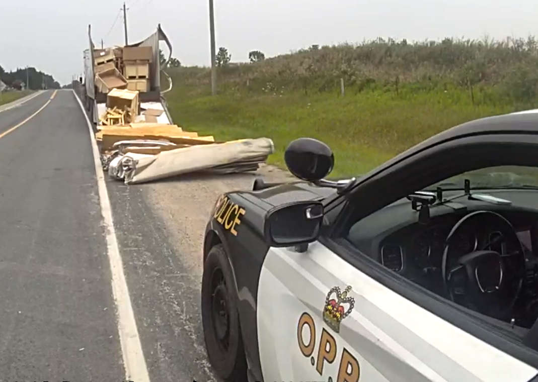 Charges Laid after Truck Hits Bridge
 Ingersoll Candidate Profile - Mike Tucker
 Motorcyclist Killed in Oxford Collision
 Tip Tuesday with the Oxford OPP - July 2026
 Oxford OPP Briefs - July 28th, 2026
 Cat Thrown from Vehicle in Norfolk County
 Environment Canada Issues Yellow Watch for Thunderstorms
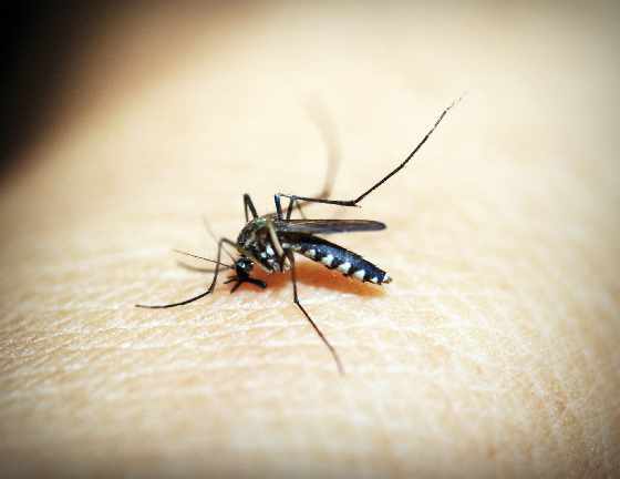 Oxford Mosquito Traps Tests Positive for West Nile
 Woodstock Candidate Profile - Sandeep Sidhu


Comments
Add a comment