


Environment Canada Meteorologist Geoff Coulson says Oxford and Middlesex could be getting the worst of the ice storm that will move through southwestern Ontario later today.
OXFORD COUNTY - We're about to get quite the ice storm in southwestern Ontario.
It's going to start out as a mix of light snow and ice pellets before it turns into freezing rain later this afternoon. From there the freezing rain will continue throughout the night before it starts to taper off tomorrow morning.
Geoff Coulson, a Warning Preparedness Meteorologist with Environment Canada, says we could be getting the worst of it here in Oxford County.
"It looks like the extreme southwest may see a little bit less in the way of ice accretion, so we're talking down in the Windsor and Essex County area. But in other locations like Middlesex, Oxford, and Woodstock, this could be an area that sees the most significant amounts of ice."
Coulson says we could see anywhere between 15 and 20 milimetres of ice build-up. He says we're also in for colder temperatures on Friday, with a high of minus 6 and a low of minus 13 in the forecast.
"These would be conditions notably colder than normal for this time of the year but it's not expected to last. By Sunday we're expecting temperatures to bounce back to above normal values and those above normal values are expected to extend into next week."
Coulson says the ice should start to melt on Sunday.
A freezing rain warning is currently in effect for Oxford County and Brant County.
 3rd Annual Running with the Bulls Shines
 Mischief in Tillsonburg is Under Investigation
 Upgrades Completed for Woodstock Disc Golf Course
 OPP Enforcement for Civic Holiday Weekend
 Woodstock Candidate Profile - Anthony Scalisi
 Drug Trafficking Investigation Leads to Charges
 EZT Candidate Profile - Don Chowan
 Oxford County Requesting Public Input
 Norwich Man Charged in Brant County
 SPWH Wants You to Know Drinking Risks
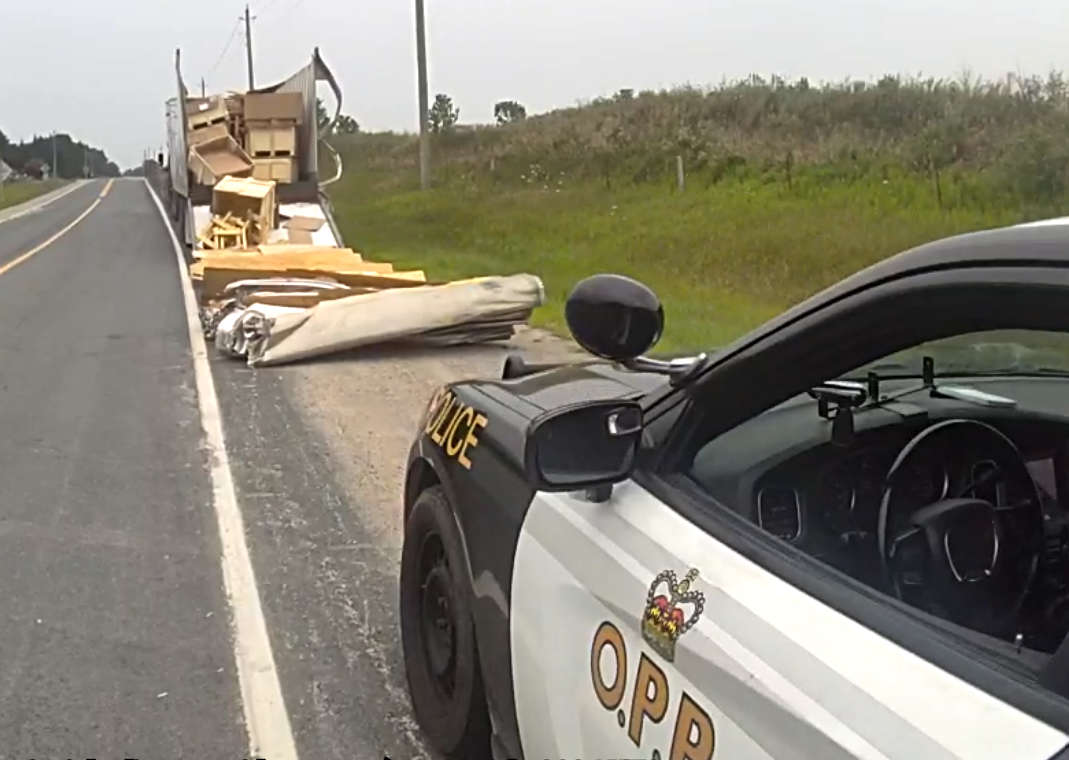 Charges Laid after Truck Hits Bridge
 Ingersoll Candidate Profile - Mike Tucker
 Motorcyclist Killed in Oxford Collision
 Tip Tuesday with the Oxford OPP - July 2026
 Oxford OPP Briefs - July 28th, 2026
 Cat Thrown from Vehicle in Norfolk County
 Environment Canada Issues Yellow Watch for Thunderstorms
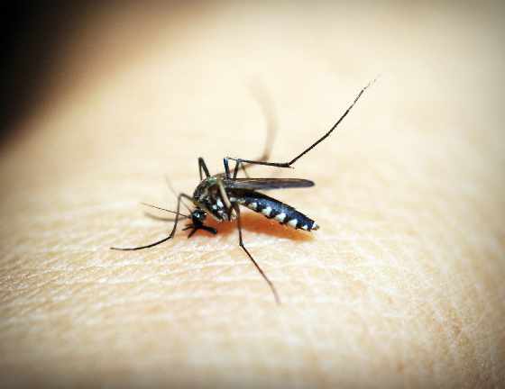 Oxford Mosquito Traps Tests Positive for West Nile
 Woodstock Candidate Profile - Sandeep Sidhu


Comments
Add a comment