


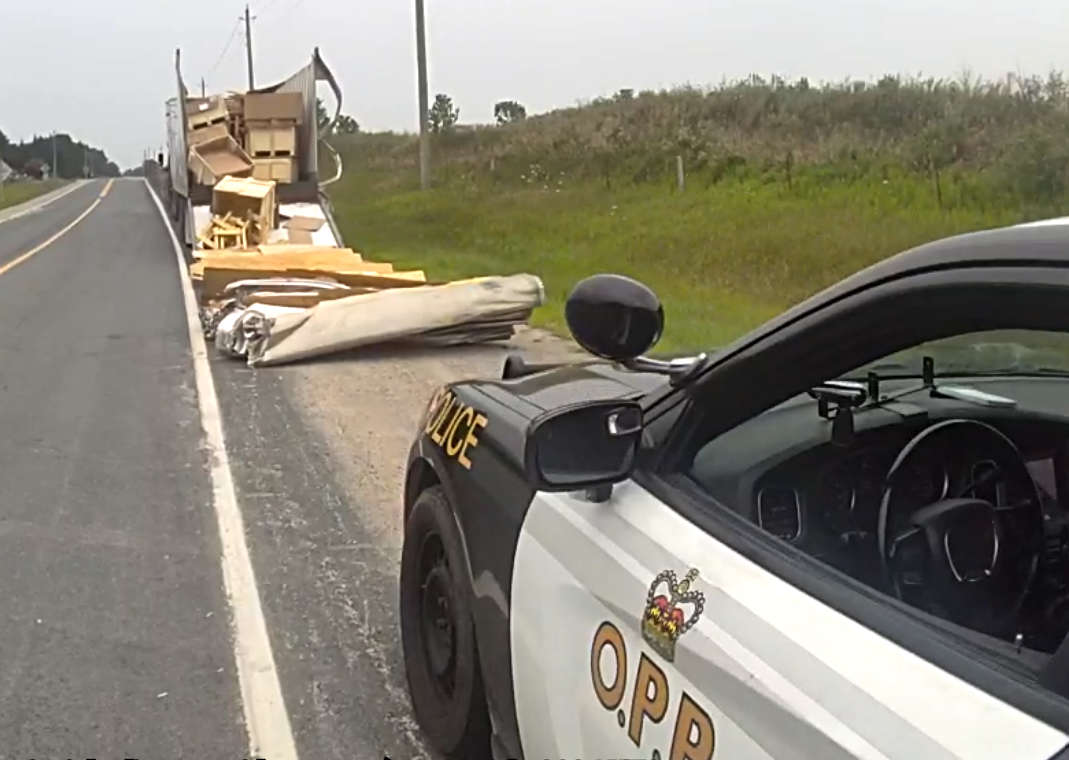
Environment Canada warns of a messy morning commute in several counties this morning.
There are multiple special weather statements this morning:
Oxford, Brant, and Wellington Counties as well as the Waterloo region are all being warned of a low pressure system tracking across Lake Huron this morning. Heavy snow fall is expected in the 5 to 10 cm range for most of southern Ontario with 10 to 15 cm possible in the lakeshore regions.
Winds are also expected to gust up to the 70km/h mark causing blowing snow and reduced visibility.
It all adds up to a messy commute this morning - motorists are encouraged to be extra cautious out there on the roadways.
The system is expected to continue on to southern Quebec later tonight.
---
In Elgin, Norfolk, and Middlesex Counties they are being told to expect 5 to 10 cm by this afternoon with some areas along the eastern shores of Lakes Erie and Ontario bracing for over 10 cm.
A cold front will also sweep through the region early this morning reaching the Golden Horseshoe after sunrise. Heavy snow fall and strong winds (up to 70 km/h) will reduce visibility.
Motorists are being asked to use caution as roads are predicted to be hazardous throughout the day
---
Huron and Perth counties are back under a snow squall warning today. Strong northwest winds are being blamed for bringing that activity inland this afternoon. 15 to 25 cm is possible by tomorrow morning. The wind combined with the snowfall will make visibility very poor as there is a good possibility for blowing snow.
Snow associated with an area of low pressure will taper off this afternoon with snow squalls pushing in afterwards continuing into tomorrow.
 3rd Annual Running with the Bulls Shines
 Mischief in Tillsonburg is Under Investigation
 Upgrades Completed for Woodstock Disc Golf Course
 OPP Enforcement for Civic Holiday Weekend
 Woodstock Candidate Profile - Anthony Scalisi
 Drug Trafficking Investigation Leads to Charges
 EZT Candidate Profile - Don Chowan
 Oxford County Requesting Public Input
 Norwich Man Charged in Brant County
 SPWH Wants You to Know Drinking Risks
 Charges Laid after Truck Hits Bridge
 Ingersoll Candidate Profile - Mike Tucker
 Motorcyclist Killed in Oxford Collision
 Tip Tuesday with the Oxford OPP - July 2026
 Oxford OPP Briefs - July 28th, 2026
 Cat Thrown from Vehicle in Norfolk County
 Oxford Mosquito Traps Tests Positive for West Nile
 Woodstock Candidate Profile - Sandeep Sidhu


Comments
Add a comment