


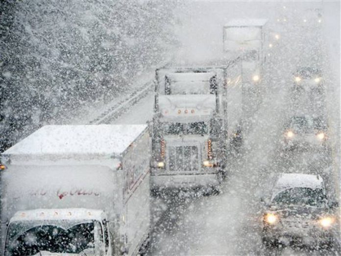
Environment Canada says we could get 10 to 30 centimetres of snow.
OXFORD - We're about to get a blast of winter in Oxford County.
Environment Canada has issued a snow squall watch with the possibility of 10 to 30 centimetres over the next couple days. It should start today and officials say it could continue into tomorrow night, but we should get the worst of it tonight.
We could also see wind gusts between 60 and 70 kilometres per hour which could blow the snow around and make it hard to see at times. Make sure you drive carefully and prepare for changing road conditions if you have to go anywhere.
Under Environment Canada's new colour-coded weather alert system, this snow squall watch is classified as a yellow alert. This means the weather could cause damage, disruption or health impacts, but the impacts should be moderate, localized and/or short-term. You can read more about the new colour-coded alert system online here.
 3rd Annual Running with the Bulls Shines
 Mischief in Tillsonburg is Under Investigation
 Upgrades Completed for Woodstock Disc Golf Course
 OPP Enforcement for Civic Holiday Weekend
 Woodstock Candidate Profile - Anthony Scalisi
 Drug Trafficking Investigation Leads to Charges
 EZT Candidate Profile - Don Chowan
 Oxford County Requesting Public Input
 Norwich Man Charged in Brant County
 SPWH Wants You to Know Drinking Risks
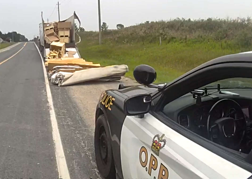 Charges Laid after Truck Hits Bridge
 Ingersoll Candidate Profile - Mike Tucker
 Motorcyclist Killed in Oxford Collision
 Tip Tuesday with the Oxford OPP - July 2026
 Oxford OPP Briefs - July 28th, 2026
 Cat Thrown from Vehicle in Norfolk County
 Environment Canada Issues Yellow Watch for Thunderstorms
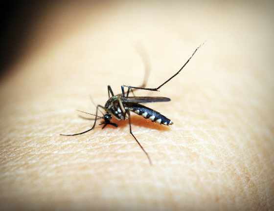 Oxford Mosquito Traps Tests Positive for West Nile
 Woodstock Candidate Profile - Sandeep Sidhu


Comments
Add a comment