

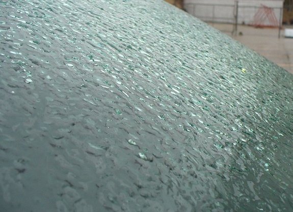
Heavy rain is expected to start late Wednesday, turning to freezing rain and ice pellets on Thursday and then blowing snow Thursday night.
Environment Canada has issued a Special Weather Statement for most of Southwestern Ontario, including Oxford County.
They are warning about the potential for a mixed back of winter weather over the next few days.
Heavy rain is expected to start late Wednesday, through Thursday afternoon. This could be anywhere from 10 to 25 mm, depending on where you live.
At some point Thursday afternoon, this is expected to change into freezing rain mixed with ice pellets.
Then eventually that will turn into snow and blowing snow Thursday night into Friday morning. We could see 4-8 cm of snow during this time.
The messy weather will wreak havoc on the roadways and could potentially lead to road closures. Also the freezing rain could disrupt hydro.
At this time the track of the low pressure system is uncertain, and as such precipitation type, timing and amounts may change.
 3rd Annual Running with the Bulls Shines
 Mischief in Tillsonburg is Under Investigation
 Upgrades Completed for Woodstock Disc Golf Course
 OPP Enforcement for Civic Holiday Weekend
 Woodstock Candidate Profile - Anthony Scalisi
 Drug Trafficking Investigation Leads to Charges
 EZT Candidate Profile - Don Chowan
 Oxford County Requesting Public Input
 Norwich Man Charged in Brant County
 SPWH Wants You to Know Drinking Risks
 Charges Laid after Truck Hits Bridge
 Ingersoll Candidate Profile - Mike Tucker
 Motorcyclist Killed in Oxford Collision
 Tip Tuesday with the Oxford OPP - July 2026
 Oxford OPP Briefs - July 28th, 2026
 Cat Thrown from Vehicle in Norfolk County
 Environment Canada Issues Yellow Watch for Thunderstorms
 Oxford Mosquito Traps Tests Positive for West Nile
 Woodstock Candidate Profile - Sandeep Sidhu


Comments
Add a comment