


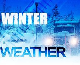
Environment Canada say we could see heavy snow and possibly freezing rain Sunday
A winter storm with heavy snow, winds and colder temperatures is moving our way.
According to Environment Canada, a cold front from a different weather system that has been affecting Northern Ontario will slip into Southern Ontario tonight. We could see a couple cm of snow with it, with perhaps up to 5 cm falling at locales near Lake Huron and Georgian Bay. The front will likely stall somewhere near or just north of lakes Erie and Ontario on Sunday.
Behind that, a low pressure system that is developing over Oklahoma or Texas today is forecasted to intensify and track northeastward along the line of this stalled front to cross Southern Ontario Sunday night.
The snow is expected to start Sunday morning with heavier bands of snow moving into Southwestern Ontario by the afternoon. The weather agency says current indications suggest that many places will see snowfall amounts of 15 to 20 cm. There is also the risk for freezing rain Sunday evening for regions near Eastern Lake Erie as well as over Eastern Ontario Sunday night into early Monday.
On Monday behind the storm, bitterly cold west to northwest winds will produce blowing and drifting snow. Snow squalls are forecast to develop off Lake Huron and Georgian Bay Monday and persist into mid week.
Environment Canada is warning of deteriorating travelling conditions on Sunday and are advising motorists to plan ahead and be prepared for hazardous road conditions.
They say there is still some uncertainty as to the exact track of the storm centre and where the freezing rain and heaviest snow will fall but will continue to monitor the situation and will issue watches and warnings as necessary.
 Belongathon is Back in Woodstock
 LDCSB Trustee Candidate Profile - Mary Holmes
 International Trails Day Celebration in Oxford
 Beach Day Arrives in Norfolk County
 City Approves Changes to Downtown Parking
 Affordable Housing Units are Coming to Woodstock
 A Revamped Woodstock Fair for 2026
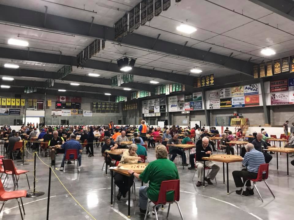 World Crokinole Championship Returns to Tavistock
 Warden Responds to Pride Flag Vandalism
 SWOX Candidate Profile - William Van Lagen
 Woodstock Police Recover Stolen Vehicles
 Zorra Township Candidate Profile - James Chamberlain
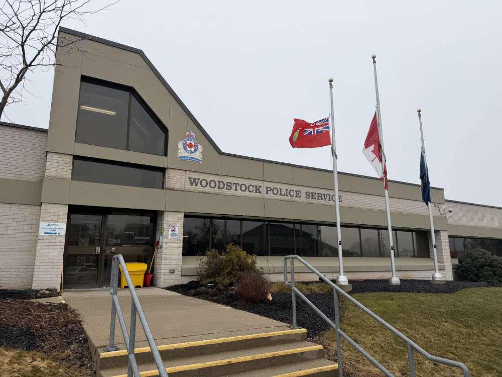 Woodstock Police Briefs - June 3rd, 2026
 Running with the Bulls Returns for Third Year
 Pride Flag Vandalized in Norwich
 WFD Responds to Seven Calls in Two Days
 UPDATE: Witnesses Wanted in Highway 403 Crash
 News Poll: Stanley Cup Final 2026
 Assault Charge Laid in Delhi
 Shared Deputy Fire Chief Hired for Zorra and SWOX


Comments
Add a comment