


Warm airmass coupled with an approaching disturbance could lead to some severe weather Tuesday afternoon.
OXFORD COUNTY -- We could see some active weather this afternoon.
Environment Canada has issued a Special Weather Statement warning of the potential for severe thunderstorms later today.
The weather agency says a fairly potent disturbance is approaching Southern Ontario from the west.
Temperatures are expected to reach the upper 20s to lower 30s this afternoon with humidex values pushing into the mid to high 30s.
As the disturbance gets closer, showers and thunderstorms will move into Southern Ontario bringing with it the potential for heavy downpours, large hail, frequent lightning and gusty winds.
Watches and warnings will be issued as required later today as this event draws closer.
 3rd Annual Running with the Bulls Shines
 Mischief in Tillsonburg is Under Investigation
 Upgrades Completed for Woodstock Disc Golf Course
 OPP Enforcement for Civic Holiday Weekend
 Woodstock Candidate Profile - Anthony Scalisi
 Drug Trafficking Investigation Leads to Charges
 EZT Candidate Profile - Don Chowan
 Oxford County Requesting Public Input
 Norwich Man Charged in Brant County
 SPWH Wants You to Know Drinking Risks
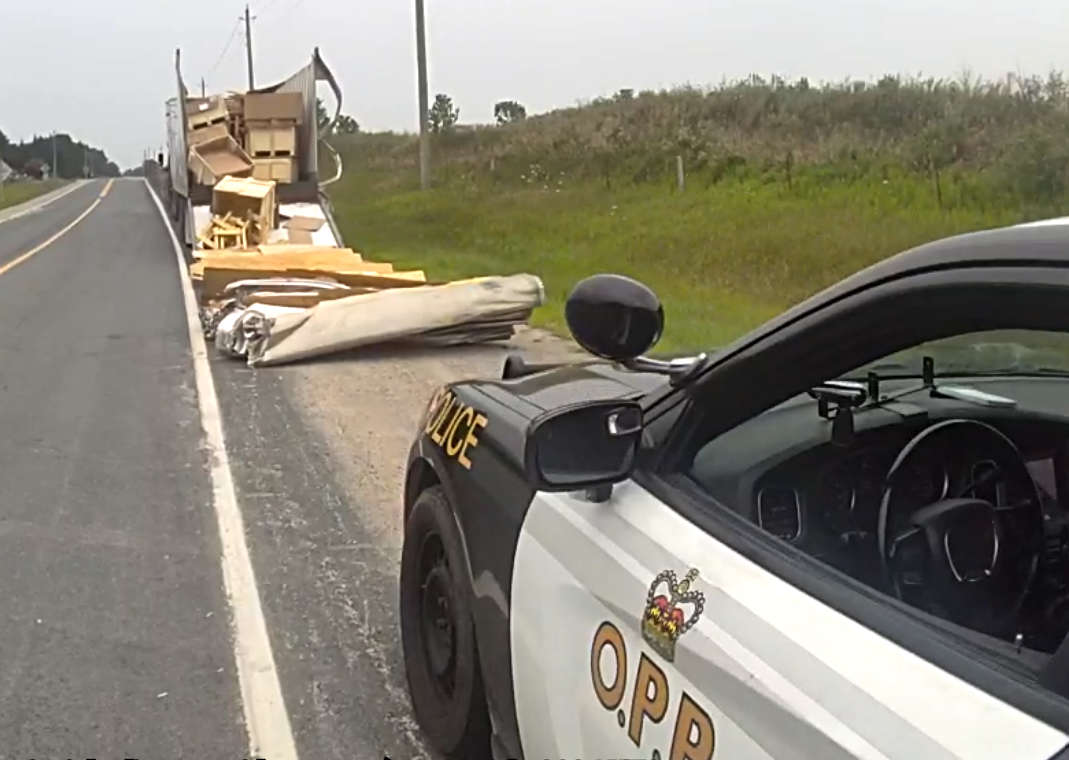 Charges Laid after Truck Hits Bridge
 Ingersoll Candidate Profile - Mike Tucker
 Motorcyclist Killed in Oxford Collision
 Tip Tuesday with the Oxford OPP - July 2026
 Oxford OPP Briefs - July 28th, 2026
 Cat Thrown from Vehicle in Norfolk County
 Environment Canada Issues Yellow Watch for Thunderstorms
 Oxford Mosquito Traps Tests Positive for West Nile
 Woodstock Candidate Profile - Sandeep Sidhu


Comments
Add a comment