

Hurricane Sandy, or what's left of the massive storm, is expected to blow into Oxford County later tonight. Environment Canada's emergency preparedness meteorologist Geoff Coulson says high winds will pose the biggest threat to our area. "Not only Woodstock, but pretty much all of South-Western Ontario is within the wind-warning issued by Environment Canada earlier today. That's the main concern with the remnants of Hurricane Sandy as it makes landfall later on this evening. During the evening hours tonight and early tomorrow morning we could be seeing local wind gusts up to 100 km/h," said Coulson. He says these winds are going to be about as bad as it'll get in our region. Environment Canada says falling limbs and the odd toppled tree taking out hydro lines may cause sporadic power issues. Be sure to secure loose objects around your property like Halloween decorations and lawn furniture. And two hands on the wheel if you need to be out on the roads tonight.
 Death Investigation in Woodstock
 MURC: Coming Soon to Ingersoll!
 Candidate Information Session Coming Up
 EZT Remembers Former Ward 3 Councillor
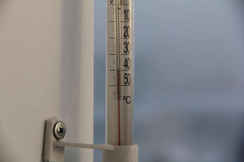 SWPH Issues Cold Weather Alert
 UPDATE: Strong Winds Continue this Morning
 Woodstock Resident Charged with Speeding
 Interview with the Mayor - March 16th, 2026
 Woodstock Driver Charged in Brant County
 PJHL Playoff Recap - March 13th to March 15th
 March Break Safety Tips from Oxford OPP
 Oxford-Elgin Rainbow Research Project Underway
 OPP: Plan Ahead Before St. Paddy's Day Festivities
 Another Friday the 13th in Port Dover Today
 Hansen Parents Visit Artemis II Explorers Club at IDCI
 East Oxford Parents Respond to AARC Announcement
 Strong Winds Expected in Oxford
 WPS Charge Two in Firearms Incident
 Food Rescue Hub Receives $50,000
 Interview with the Warden - March 12th, 2026