


Environment Canada increases the expected snowfall amounts for our region.
More snow is on the way.
Environment Canada has issued a Special Weather Statement affecting areas from Windsor, to the Niagara Region, over to Toronto and as far east as Cornwall. The system, which is drawing its moisutre from the Gulf of Mexico, is expected to arrive in southern Ontario this evening.
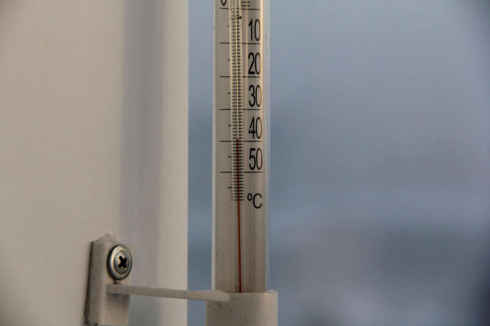
Here in Oxford County, we can expect anywhere from 10-15cms of snow by mid-day Wednesday. The heaviest snowfall is expected Wednesday morning, which could make for a treacherous morning commute.
Brant County has been placed under a snowfall warning, where the accumulations could reach 20cms from the system. Areas closer to Lake Erie are expected to receive heavier snowfall, while communities closer to Lake Huron will be spared for a change, getting only 2-5cms.
The weather agency is warning of poor driving conditions for the Wednesday morning commute. Motorists can expect accumulating snow on the roads with poor visibility late tonight into tomorrow morning and are encouraged to allow extra travel time with the threat of hazardous road conditions along the 401 corridor.
 SWPH Issues Cold Weather Alert
 UPDATE: Strong Winds Continue this Morning
 Woodstock Resident Charged with Speeding
 Interview with the Mayor - March 16th, 2026
 Woodstock Driver Charged in Brant County
 PJHL Playoff Recap - March 13th to March 15th
 March Break Safety Tips from Oxford OPP
 Oxford-Elgin Rainbow Research Project Underway
 Death Investigation in Woodstock
 OPP: Plan Ahead Before St. Paddy's Day Festivities
 Another Friday the 13th in Port Dover Today
 Hansen Parents Visit Artemis II Explorers Club at IDCI
 East Oxford Parents Respond to AARC Announcement
 Strong Winds Expected in Oxford
 WPS Charge Two in Firearms Incident
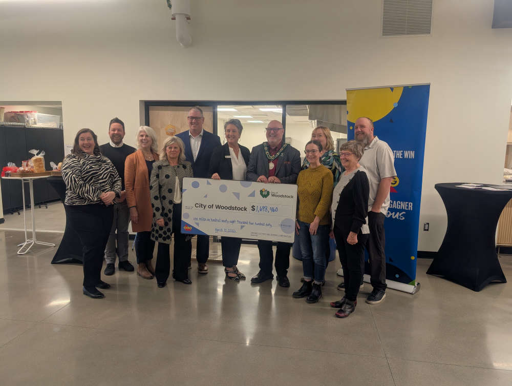 Food Rescue Hub Receives $50,000
 Interview with the Warden - March 12th, 2026
 Best U Health Expo this Saturday
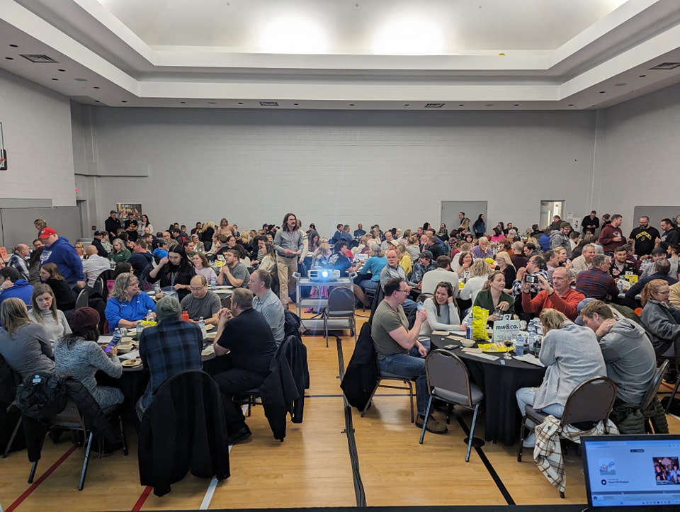 Last Call for BBBS Trivia Nite Registration
 PJHL Playoff Recap - March 11th


Comments
Add a comment