


Environment Canada increases the expected snowfall amounts for our region.
More snow is on the way.
Environment Canada has issued a Special Weather Statement affecting areas from Windsor, to the Niagara Region, over to Toronto and as far east as Cornwall. The system, which is drawing its moisutre from the Gulf of Mexico, is expected to arrive in southern Ontario this evening.
Here in Oxford County, we can expect anywhere from 10-15cms of snow by mid-day Wednesday. The heaviest snowfall is expected Wednesday morning, which could make for a treacherous morning commute.
Brant County has been placed under a snowfall warning, where the accumulations could reach 20cms from the system. Areas closer to Lake Erie are expected to receive heavier snowfall, while communities closer to Lake Huron will be spared for a change, getting only 2-5cms.
The weather agency is warning of poor driving conditions for the Wednesday morning commute. Motorists can expect accumulating snow on the roads with poor visibility late tonight into tomorrow morning and are encouraged to allow extra travel time with the threat of hazardous road conditions along the 401 corridor.
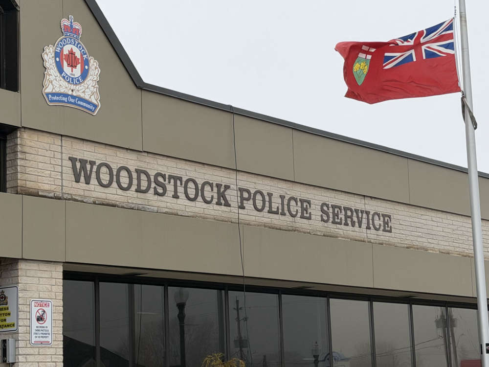 UPDATE: Woodstock Police Charge a Youth in Bomb Threat
 Theft in Delhi Under Investigation
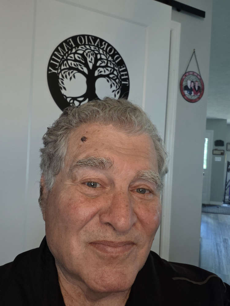 Ingersoll Candidate Profile - Louie D'Orazio
 Teen Charged with Impaired in Norfolk County
 Canada Day Celebrations in Oxford Centre
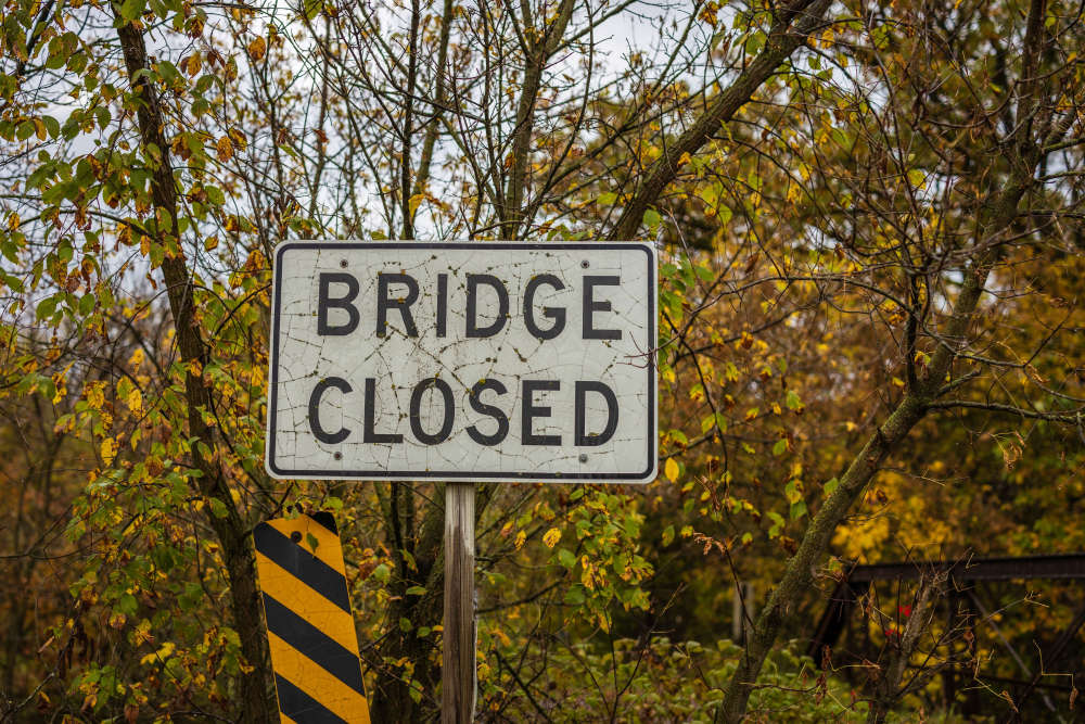 Upcoming Bridge Closure for Otterville
 Conseil Scholaire Viamonde Candidate Profile - David Paradis
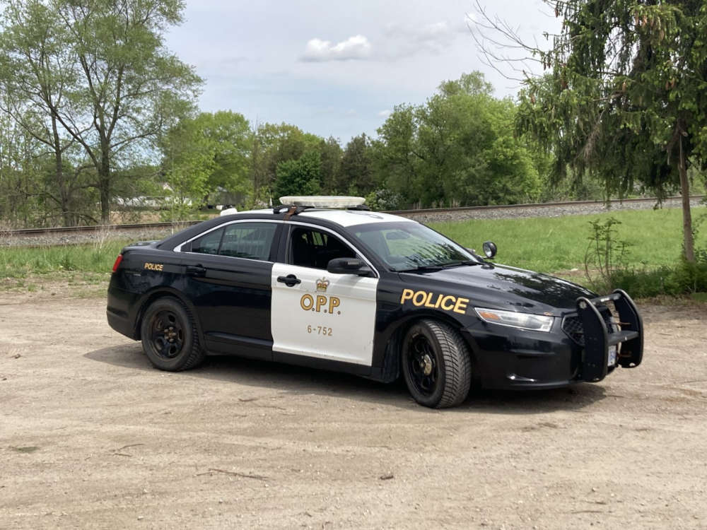
 OPP Respond to Fatal Collision in SWOX
 Behind the Scenes: Bird Set Free
 Public Information Centre Announced for Homelessness Service Centre
 Conservation Authorities to Consolidate
 Woodstock Applying for Funds for New Rec Facility
 Woodstock Candidate Profile - Wes Mazur
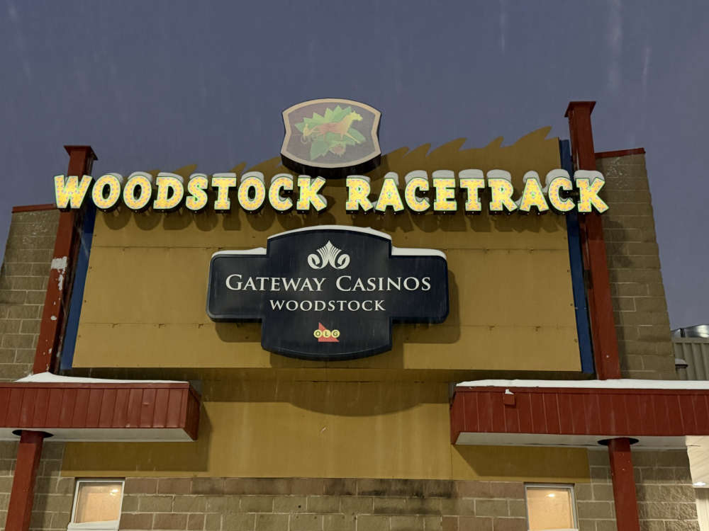 Woodstock Casino Celebrates 25 Years
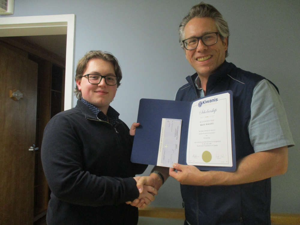
 Woodstock to Honour Local High School Students
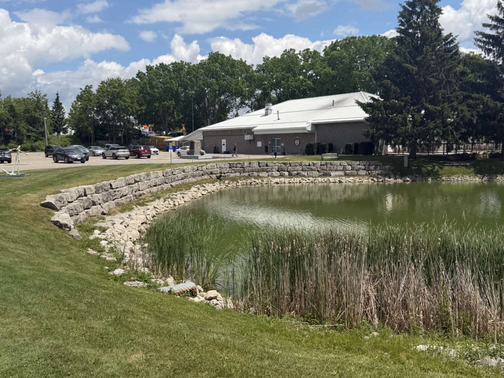 Low Water Levels in Woodstock Navy Club Pond
 Tillsonburg Candidate Profile - Katherine Englander
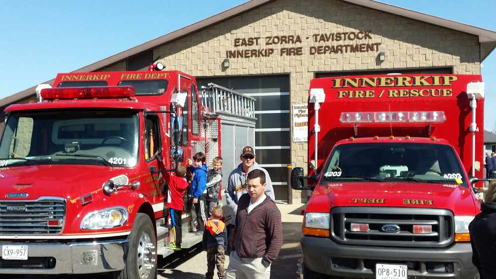
 A Busy May for Norwich Firefighters
 Innerkip Lions Weekend Fast Approaching
 Woodingford Lodge Launches Ostomy Support Group


Comments
Add a comment